Global Terrestrial Laser Scanning Market Size, Share, and Trends Analysis Report
Market Size in USD Billion
CAGR :
% 
 USD
4.82 Billion
USD
9.10 Billion
2024
2032
USD
4.82 Billion
USD
9.10 Billion
2024
2032
| 2025 –2032 | |
| USD 4.82 Billion | |
| USD 9.10 Billion | |
| % | |
|
Global Terrestrial Laser Scanning Market Segmentation, By Type (Phase-Shift Scanner, Pulse-Based Scanner, Mobile Scanner, and Optical Triangulation), Solution (Terrestrial Laser Scanning System and Terrestrial Laser Scanning Services), Laser Type (Diode, Fiber, and Solid-State), Products (Dynamic Terrestrial Laser Scanning and Stationary/Static Terrestrial Laser Scanning), Principles (Galvanometer Scanner, Polygonal Scanner, Shaft Scanner, and Others), Mappings (Camera Scanner, Hybrid Scanner, Panorama Scanner, and Others), Application (Building Information Modeling (BIM), Surveying, Research and Engineering, and Others), End Use (Industrial, Nuclear Sites, Power and Energy, Residential, Oil and Gas, Naval Industry, and Chemicals) - Industry Trends and Forecast to 2032

What is the Global Terrestrial Laser Scanning Market Size and Growth Rate?
- The global terrestrial laser scanning market size was valued at USD 4.82 billion in 2024 and is expected to reach USD 9.10 billion by 2032, at a CAGR of 8.25% during the forecast period
- The terrestrial laser scanning market is experiencing significant growth, driven by advancements in technology and the increasing demand for precise 3D data collection across various sectors
- Recent methods include the integration of high-resolution imaging and advanced software that enhances data processing and analysis capabilities. For instance, the use of mobile laser scanning systems allows for quicker and more efficient data capture in complex environments, such as urban settings and construction sites
What are the Major Takeaways of Terrestrial Laser Scanning Market?
- The market is also expanding due to the rising applications in industries such as mining, forestry, and cultural heritage documentation. With organizations increasingly recognizing the value of accurate and detailed spatial data, the terrestrial laser scanning market is projected to grow at a robust pace, with forecasts suggesting a significant compound annual growth rate (CAGR) in the coming years. This growth reflects a broader trend towards digital transformation and data-driven decision-making across various industries
- North America dominated the terrestrial laser scanning market with the largest revenue share of 38.6% in 2024, fueled by extensive adoption in infrastructure modernization, industrial automation, and high-precision mapping projects. The region’s mature construction sector and strong emphasis on technological integration are driving widespread implementation across applications
- Asia-Pacific is projected to grow at the fastest CAGR of 13.5% from 2025 to 2032, driven by massive investments in smart cities, transportation infrastructure, and industrial digitization. Countries such as China, India, Japan, and South Korea are rapidly adopting laser scanning technologies for city planning, construction monitoring, and utility mapping as part of their urban transformation agendas
- The Phase-Shift Scanner segment dominated the market with the largest revenue share of 36.4% in 2024, owing to its ability to capture high-resolution data quickly and with exceptional accuracy, making it ideal for detailed architectural and infrastructure projects
Report Scope and Terrestrial Laser Scanning Market Segmentation
|
Attributes |
Terrestrial Laser Scanning Key Market Insights |
|
Segments Covered |
|
|
Countries Covered |
North America
Europe
Asia-Pacific
Middle East and Africa
South America
|
|
Key Market Players |
|
|
Market Opportunities |
|
|
Value Added Data Infosets |
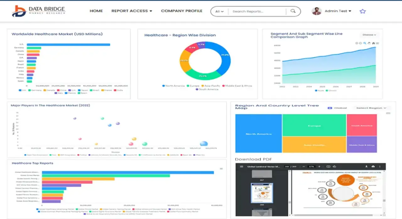
In addition to the insights on market scenarios such as market value, growth rate, segmentation, geographical coverage, and major players, the market reports curated by the Data Bridge Market Research also include in-depth expert analysis, pricing analysis, brand share analysis, consumer survey, demography analysis, supply chain analysis, value chain analysis, raw material/consumables overview, vendor selection criteria, PESTLE Analysis, Porter Analysis, and regulatory framework. |
What is the Key Trend in the Terrestrial Laser Scanning Market?
“AI Integration and Real-Time Data Processing for Enhanced Scanning Efficiency”
- A leading trend in the terrestrial laser scanning (TLS) market is the integration of artificial intelligence (AI) and real-time data analytics to improve scanning accuracy, automation, and speed in high-demand industries
- New-generation TLS systems now feature AI-powered automation to auto-register point clouds, filter noise, and detect anomalies in real time—reducing manual processing time
- Major players such as FARO Technologies and Trimble are implementing smart scanners that can learn from previous scans, adapt to environmental variables, and deliver consistent outputs
- Integration with cloud-based platforms and BIM systems allows seamless data transfer, collaborative modeling, and remote monitoring, making TLS central to digital twin and smart infrastructure projects
- These developments are especially vital in construction, mining, and transportation, where dynamic environments require responsive and intelligent scanning tools
- The shift towards AI-enabled TLS is redefining the industry by enhancing operational productivity, data precision, and multi-device synchronization across large-scale projects
What are the Key Drivers of Terrestrial Laser Scanning Market?
- Growing adoption of BIM (Building Information Modeling) and digital twin technologies in construction, infrastructure, and urban planning is significantly boosting demand for high-resolution TLS systems
- In May 2024, Leica Geosystems launched a new TLS unit with automated self-calibration, reducing on-site setup time and enhancing scan quality under varying weather conditions
- TLS devices are crucial for applications that require non-contact, full-field 3D measurement, especially in areas such as forensics, archaeology, and tunnel surveying
- The need for accurate topographical data for highway expansion, smart cities, and rail development is accelerating TLS adoption among public sector agencies and contractors
- Growth in industrial automation and robotics is creating new use cases for TLS in component inspection, robotic path mapping, and warehouse automation
- Advancements in scanner portability, battery life, and user-friendly software are expanding the technology’s reach beyond traditional surveyors to architects, engineers, and facility managers
Which Factor is challenging the Growth of the Terrestrial Laser Scanning Market?
- A key challenge is the high upfront cost of terrestrial laser scanners and related software, which can restrict adoption among small and mid-sized firms
- Devices such as the RIEGL VZ-400i and Leica RTC360 offer powerful features but require significant investment in hardware, training, and post-processing tools
- Another barrier is data processing complexity, as large-scale point clouds require substantial computing resources and trained personnel for analysis and modeling
- Environmental factors such as rain, fog, or reflective surfaces can affect scan quality, requiring repeat scans or supplemental equipment to ensure accuracy
- Compliance with data handling regulations and securing cloud-based project data are growing concerns, especially for infrastructure and defense applications
- To enable wider adoption, vendors must focus on cost-effective models, improved training platforms, and enhanced interoperability with existing software ecosystems
How is the Terrestrial Laser Scanning Market Segmented?
The market is segmented on the basis of type, solution, laser type, products, principles, mappings, application, and end use.
• By Type
On the basis of type, the terrestrial laser scanning market is segmented into Phase-Shift Scanner, Pulse-Based Scanner, Mobile Scanner, and Optical Triangulation. The Phase-Shift Scanner segment dominated the market with the largest revenue share of 36.4% in 2024, owing to its ability to capture high-resolution data quickly and with exceptional accuracy, making it ideal for detailed architectural and infrastructure projects.
The Mobile Scanner segment is projected to witness the fastest CAGR from 2025 to 2032, driven by its portability, ease of deployment, and suitability for complex and dynamic environments such as urban mapping and construction sites.
• By Solution
On the basis of solution, the market is segmented into terrestrial laser scanning system and Terrestrial Laser Scanning Services. The Terrestrial Laser Scanning System segment accounted for the largest market share of 69.1% in 2024, driven by strong demand for integrated, hardware-focused solutions in construction, mining, and manufacturing industries.
The Terrestrial Laser Scanning Services segment is expected to grow at the fastest CAGR during the forecast period, supported by the rising demand for scanning-as-a-service, consulting, and data processing in projects requiring short-term or outsourced solutions.
• By Laser Type
レーザーの種類に基づいて、市場はダイオード、ファイバー、固体の3つに分類されます。ファイバーレーザーセグメントは、その効率性、精度、そして様々な条件下での金属および工業用表面のスキャンへの適合性により、2024年には47.2%という最大の市場収益シェアを獲得しました。
ダイオード レーザー セグメントは、そのコンパクトさ、コスト効率の良さ、軽量のハンドヘルド地上レーザー スキャン システムでの使用の増加により、2025 年から 2032 年にかけて最も速い CAGR を記録すると予想されています。
• 副産物
製品ベースでは、市場は動的地上レーザースキャンと固定式/静的地上レーザースキャンに分類されます。固定式/静的地上レーザースキャンセグメントは、建築資料作成や考古学マッピングなどの大規模プロジェクトにおいて、安定した高精度スキャンを提供することから、2024年には58.5%の収益シェアで市場をリードするでしょう。
動的地上レーザースキャンセグメントは、モバイルマッピング、自律走行車、急速に進化する地理空間データ収集への応用により、予測期間中に最高の CAGR で成長する見込みです。
• 原則に従って
地上レーザースキャン市場は、原理に基づいて、ガルバノスキャナ、ポリゴンスキャナ、シャフトスキャナ、その他に分類されます。ガルバノスキャナセグメントは、2024年に33.8%という最大の収益シェアを占め、産業検査や地形測量などの用途において高速スキャン機能と高精度が評価されました。
ポリゴンスキャナセグメントは、その広いスキャン角度と高スループット環境への適応性により、2025年から2032年にかけて最も速いCAGRで成長すると予想されています。
• マッピングによる
マッピングの種類に基づいて、市場はカメラスキャナー、ハイブリッドスキャナー、パノラマスキャナー、その他に分類されます。パノラマスキャナーセグメントは、広域イメージングとデジタルツインモデリングに不可欠な360度スキャン機能により、2024年には35.2%の収益シェアで市場をリードしました。
ハイブリッド スキャナー セグメントは、複数のスキャン テクノロジーの機能を組み合わせて、マルチドメイン プロジェクトの汎用性と精度を向上させるため、最も高い CAGR で成長すると予測されています。
• 用途別
地上レーザースキャン市場は、用途別に、ビルディング・インフォメーション・モデリング(BIM)、測量・研究・エンジニアリング、その他に分類されます。ビルディング・インフォメーション・モデリング(BIM)セグメントは、スマートコンストラクション、リノベーション、インフラ監視における導入増加に牽引され、2024年には39.6%という最大の収益シェアを占めると予測されます。
研究およびエンジニアリングセグメントは、学術、考古学、産業の研究開発プロジェクトでの使用の拡大により、最も速い成長を記録すると予測されています。
• 最終用途別
最終用途に基づいて、市場は工業、原子力施設、電力・エネルギー、住宅、石油・ガス、造船、化学に分類されます。レーザースキャンは品質管理、設備計画、機械校正に広く利用されているため、工業分野は2024年に28.9%という最大の市場シェアを獲得しました。
原子力施設セグメントは、危険区域および立ち入り制限区域における安全で遠隔的かつ高精度なスキャンの必要性に支えられ、2025年から2032年にかけて最も高いCAGRで成長すると予想されています。
地上レーザースキャン市場で最大のシェアを占める地域はどこですか?
- 北米は、インフラ近代化、産業オートメーション、高精度マッピングプロジェクトにおける広範な導入を背景に、地上レーザースキャン市場において2024年に38.6%という最大の収益シェアを獲得し、市場を席巻しました。この地域の成熟した建設セクターと技術統合への強いこだわりが、幅広いアプリケーションへの導入を促進しています。
- 米国とカナダは、スマート交通システム、公共設備検査、BIMベースの建設実務への政府投資に支えられ、市場をリードしている。
- 安全性、資産の文書化、デジタルアーカイブに関する規制義務により、連邦および民間のプロジェクト全体で地上レーザースキャナーの導入がさらに促進されています。
米国地上レーザースキャン市場に関する洞察
北米市場は、土木、発電、防衛といった分野における需要の高まりを背景に、米国がリードしています。TLSは、橋梁点検、現場分析、施設モデリングに広く利用されています。ドローン、AI分析、クラウドベースのデータプラットフォームとの統合により、導入がさらに加速し、拡張性とROIが向上しています。
カナダ地上レーザースキャン市場インサイト
カナダの市場は、持続可能な都市開発とインフラの遠隔監視への重点化により、着実に成長しています。石油・ガスパイプライン、鉱業、歴史的建造物保存におけるアプリケーションが主要な貢献者です。政府支援によるイノベーション資金と、環境・文化遺産プロジェクトにおける3Dスキャンの義務化により、国全体でTLSの導入が進んでいます。
地上レーザースキャン市場で最も急速に成長している地域はどこですか?
アジア太平洋地域は、スマートシティ、交通インフラ、産業デジタル化への大規模な投資を背景に、2025年から2032年にかけて13.5%という最も高い年平均成長率(CAGR)で成長すると予測されています。中国、インド、日本、韓国などの国々では、都市変革計画の一環として、都市計画、建設工事監視、ユーティリティマッピングにレーザースキャン技術が急速に導入されています。現地ベンダーの台頭、自動化のメリットに対する意識の高まり、そして政府のインフラ整備への取り組みにより、公共部門と民間部門の両方でTLSの導入が加速しています。
中国地上レーザースキャン市場に関する洞察
中国は、「ニューインフラストラクチャー」や「スマートシティチャイナ」といったイニシアチブに基づくデジタルインフラ開発目標を掲げ、アジア太平洋地域をリードしています。TLSは、高速道路、地下鉄、デジタルツイン構築といった大規模プロジェクトで広く採用されています。国内のスキャナーメーカーは費用対効果の高いソリューションを提供し、地域のアクセシビリティを向上させています。
日本における地上レーザースキャン市場の洞察
日本は耐震安全性と高精度エンジニアリングに重点を置いており、交通、公共事業、建設分野でTLSの利用が進んでいます。鉄道模型、トンネル検査、構造健全性モニタリングといった分野での採用が特に顕著です。ロボット工学や自律測量システムとの統合により、日本の先端技術応用はさらに強化されています。
インド地上レーザースキャン市場洞察
インドは、スマートシティ構想、不動産開発、産業回廊計画の拡大により、成長のホットスポットとして台頭しています。TLSは、高速道路マッピング、都市再開発、資産文書化の分野で注目を集めています。「デジタル・インディア」や「メイク・イン・インディア」といった政府のキャンペーンは、様々な分野や地域においてTLSの導入を推進しています。
地上レーザースキャン市場のトップ企業はどれですか?
地上レーザースキャン業界は、主に次のような定評ある企業によって牽引されています。
- ライカジオシステムズAG(スイス)
- トリンブル社(米国)
- テレダイン・テクノロジーズ・インコーポレーテッド(米国)
- FARO Technologies, Inc.(米国)
- RIEGL Laser Measurement Systems GmbH(オーストリア)
- CREAFORM(カナダ)
- Maptek Pty Limited(オーストラリア)
- ツァイス インド(インド)
- Zoller + Fröhlich GmbH (ドイツ)
- メレット・サーベイ・リミテッド(英国)
世界の地上レーザースキャン市場の最近の動向は何ですか?
- 3D Systemsは2022年11月、米国の地上型レーザースキャナメーカーであるWematter社と戦略的提携を結び、選択的レーザー焼結(SLS)ポートフォリオの拡充を図りました。この提携により、3D SystemsはWematter社のGravityソリューションの独占的グローバル販売権を獲得しました。この提携により、3D Systemsはエンドユーザー向け部品製造において、信頼性が高く費用対効果の高いストレージソリューションを提供できるようになります。これにより、Wematter社の市場リーチが拡大するとともに、3D SystemsのSLS製品ラインも強化されます。
SKU-
世界初のマーケットインテリジェンスクラウドに関するレポートにオンラインでアクセスする
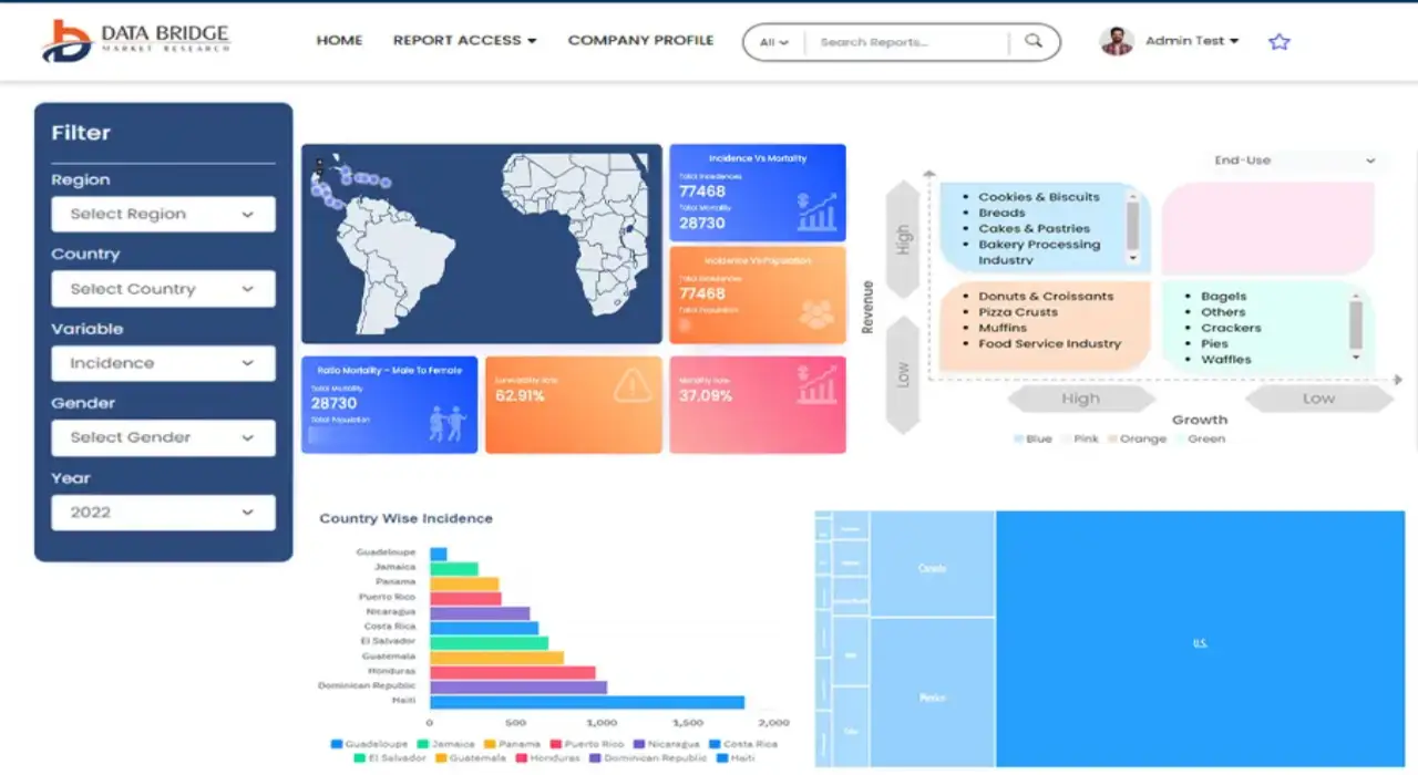
- インタラクティブなデータ分析ダッシュボード
- 成長の可能性が高い機会のための企業分析ダッシュボード
- カスタマイズとクエリのためのリサーチアナリストアクセス
- インタラクティブなダッシュボードによる競合分析
- 最新ニュース、更新情報、トレンド分析
- 包括的な競合追跡のためのベンチマーク分析のパワーを活用
調査方法
データ収集と基準年分析は、大規模なサンプル サイズのデータ収集モジュールを使用して行われます。この段階では、さまざまなソースと戦略を通じて市場情報または関連データを取得します。過去に取得したすべてのデータを事前に調査および計画することも含まれます。また、さまざまな情報ソース間で見られる情報の不一致の調査も含まれます。市場データは、市場統計モデルと一貫性モデルを使用して分析および推定されます。また、市場シェア分析と主要トレンド分析は、市場レポートの主要な成功要因です。詳細については、アナリストへの電話をリクエストするか、お問い合わせをドロップダウンしてください。
DBMR 調査チームが使用する主要な調査方法は、データ マイニング、データ変数が市場に与える影響の分析、および一次 (業界の専門家) 検証を含むデータ三角測量です。データ モデルには、ベンダー ポジショニング グリッド、市場タイムライン分析、市場概要とガイド、企業ポジショニング グリッド、特許分析、価格分析、企業市場シェア分析、測定基準、グローバルと地域、ベンダー シェア分析が含まれます。調査方法について詳しくは、お問い合わせフォームから当社の業界専門家にご相談ください。
カスタマイズ可能
Data Bridge Market Research は、高度な形成的調査のリーダーです。当社は、既存および新規のお客様に、お客様の目標に合致し、それに適したデータと分析を提供することに誇りを持っています。レポートは、対象ブランドの価格動向分析、追加国の市場理解 (国のリストをお問い合わせください)、臨床試験結果データ、文献レビュー、リファービッシュ市場および製品ベース分析を含めるようにカスタマイズできます。対象競合他社の市場分析は、技術ベースの分析から市場ポートフォリオ戦略まで分析できます。必要な競合他社のデータを、必要な形式とデータ スタイルでいくつでも追加できます。当社のアナリスト チームは、粗い生の Excel ファイル ピボット テーブル (ファクト ブック) でデータを提供したり、レポートで利用可能なデータ セットからプレゼンテーションを作成するお手伝いをしたりすることもできます。