Global Satellite Photogrammetry Software Market
Market Size in USD Billion
 USD
3.14 Billion
USD
10.23 Billion
2025
2033
USD
3.14 Billion
USD
10.23 Billion
2025
2033
| 2026 - 2033 | |
| USD 3.14 Billion | |
| USD 10.23 Billion | |
| % | |
|
Satellite Photogrammetry Software Market Size
- The global satellite photogrammetry software market size was valued at USD 3.14 billion in 2025 and is expected to reach USD 10.23 billion by 2033, at a CAGR of 15.90% during the forecast period
- The market growth is largely fuelled by the increasing adoption of satellite imagery for earth observation, urban planning, agriculture monitoring, and disaster management applications
- Rising demand for high-resolution geospatial data and accurate 3D terrain modeling is also supporting market expansion
Satellite Photogrammetry Software Market Analysis
- Increasing utilization of satellites for environmental monitoring, land surveying, and infrastructure planning is creating new opportunities for photogrammetry software vendors
- The trend of combining AI and machine learning with satellite imagery for automated mapping, object detection, and change analysis is enhancing the functionality and efficiency of satellite photogrammetry software
- North America dominated the satellite photogrammetry software market with the largest revenue share of 38.50% in 2025, driven by growing adoption of advanced geospatial technologies and demand for high-precision mapping solutions
- Asia-Pacific region is expected to witness the highest growth rate in the global satellite photogrammetry software market, driven by increasing investments in smart city development, infrastructure modernization, and environmental monitoring initiatives. Technological advancements, rising adoption of UAVs and drones for mapping, and the growing availability of cost-effective software solutions are key factors supporting rapid market expansion in the region
- The point-and-shoot photogrammetry segment held the largest market revenue share in 2025, driven by its ease of use, quick data acquisition, and suitability for small-scale mapping projects. Point-and-shoot solutions are widely adopted by educational institutions, cultural heritage projects, and research organizations for accurate 3D modeling and visualization. These solutions offer cost-effective mapping, require minimal technical expertise, and allow fast deployment in field surveys. In addition, the segment benefits from increasing demand for lightweight and portable photogrammetry solutions across multiple industries, enabling efficient data capture in remote or inaccessible locations

Report Scope and Satellite Photogrammetry Software Market Segmentation
|
Attributes |
Satellite Photogrammetry Software Key Market Insights |
|
Segments Covered |
|
|
Countries Covered |
North America
Europe
Asia-Pacific
Middle East and Africa
South America
|
|
Key Market Players |
|
|
Market Opportunities |
|
|
Value Added Data Infosets |
In addition to the market insights such as market value, growth rate, market segments, geographical coverage, market players, and market scenario, the market report curated by the Data Bridge Market Research team includes in-depth expert analysis, import/export analysis, pricing analysis, production consumption analysis, and pestle analysis. |
Satellite Photogrammetry Software Market Trends
Rising Demand for High-Resolution Geospatial Data and Automated Mapping
- The growing focus on accurate, high-resolution geospatial data is significantly shaping the satellite photogrammetry software market, as organizations increasingly require precise 3D models, terrain analysis, and mapping capabilities. Satellite photogrammetry software is gaining traction due to its ability to deliver detailed spatial information, enhance decision-making, and support applications in urban planning, agriculture, and disaster management
- Increasing awareness around environmental monitoring, infrastructure development, and smart city initiatives has accelerated the demand for satellite photogrammetry software in government agencies, research institutions, and private enterprises. Stakeholders are actively seeking software solutions that integrate satellite imagery with AI and machine learning, prompting vendors to innovate with enhanced processing capabilities and cloud-based solutions
- Advances in remote sensing technology and integration with GIS platforms are influencing purchasing decisions, with organizations emphasizing data accuracy, processing speed, and software reliability. These factors are helping software providers differentiate offerings in a competitive market and build client trust, while also driving adoption of cloud-based and automated satellite photogrammetry solutions
- For instance, in 2024, Maxar Technologies in the U.S. and Airbus Defence and Space in France expanded their satellite photogrammetry software portfolios to include AI-driven data analysis and automated terrain modeling. These launches were introduced in response to rising demand for real-time, high-resolution mapping, with distribution across government, commercial, and research sectors. The products were also marketed as advanced and efficient solutions, enhancing customer loyalty and repeat adoption among target users
- While demand for satellite photogrammetry software is growing, sustained market expansion depends on continuous R&D, integration with emerging technologies, and maintaining accuracy comparable to conventional photogrammetry methods. Vendors are also focusing on improving scalability, cloud infrastructure, and developing innovative solutions that balance cost, performance, and usability for broader adoption
Satellite Photogrammetry Software Market Dynamics
Driver
Rising Demand for High-Resolution Mapping and Automated Data Processing
- Increasing adoption of satellite imagery for mapping, topography, agriculture, urban planning, and disaster management is a major driver for the satellite photogrammetry software market. Organizations are increasingly leveraging software solutions to extract actionable insights from satellite data, improve operational efficiency, and reduce manual processing time
- Expanding applications across government agencies, environmental monitoring, energy and utilities, and construction sectors are influencing market growth. Satellite photogrammetry software enables enhanced data visualization, 3D modeling, and precise geospatial analysis, supporting better planning and decision-making
- Software providers are actively promoting satellite photogrammetry-based solutions through product innovation, cloud integration, and AI-assisted analytics. These efforts are supported by the growing preference for automated, accurate, and real-time mapping solutions, encouraging collaborations between satellite data providers and software vendors to improve performance and reduce operational costs
- For instance, in 2023, Planet Labs in the U.S. and UrtheCast in Canada reported increased adoption of satellite photogrammetry software in agriculture and infrastructure monitoring. This expansion followed higher demand for automated and high-resolution geospatial data, driving repeat usage and customer loyalty. Both companies also highlighted scalability, cloud processing, and AI integration in marketing campaigns to strengthen client trust
- Although rising demand for automated and high-precision mapping supports growth, wider adoption depends on cost optimization, data accessibility, and integration with existing GIS and analytics platforms. Investment in cloud infrastructure, advanced processing algorithms, and user-friendly interfaces will be critical for meeting global demand and maintaining competitive advantage
Restraint/Challenge
High Cost And Complexity Of Satellite Photogrammetry Software
- The relatively higher cost of satellite photogrammetry software compared to conventional mapping methods remains a key challenge, limiting adoption among small organizations. High development, licensing, and cloud processing costs contribute to elevated pricing. In addition, complex software workflows can require specialized training and expertise, affecting adoption rates
- Awareness and technical knowledge remain uneven, particularly in developing regions where advanced geospatial technologies are still emerging. Limited understanding of software capabilities restricts adoption across certain industries, slowing innovation uptake in emerging economies where educational initiatives on satellite photogrammetry are minimal
- Data acquisition, storage, and processing requirements also impact market growth, as satellite photogrammetry software relies on high-resolution imagery, cloud infrastructure, and robust computational resources. Logistical complexities and large data volumes increase operational costs, requiring investment in servers, bandwidth, and storage solutions
- For instance, in 2024, municipal agencies in India and Brazil reported slower uptake of satellite photogrammetry solutions due to high costs, lack of trained personnel, and limited access to high-resolution imagery. These factors prompted some organizations to delay implementation, affecting software adoption and visibility in the market
- Overcoming these challenges will require cost-efficient software licensing, cloud-based solutions, and focused educational initiatives for organizations. Collaboration with satellite data providers, research institutions, and industry bodies can help unlock the long-term growth potential of the global satellite photogrammetry software market. Furthermore, developing affordable, user-friendly, and scalable software solutions will be essential for widespread adoption
Satellite Photogrammetry Software Market Scope
The satellite photogrammetry software market is segmented based on photogrammetry style, application, and end user.
- By Photogrammetry Style
On the basis of photogrammetry style, the market is segmented into point-and-shoot photogrammetry, multi-camera photogrammetry, and video-to-photogrammetry. The point-and-shoot photogrammetry segment held the largest market revenue share in 2025, driven by its ease of use, quick data acquisition, and suitability for small-scale mapping projects. Point-and-shoot solutions are widely adopted by educational institutions, cultural heritage projects, and research organizations for accurate 3D modeling and visualization. These solutions offer cost-effective mapping, require minimal technical expertise, and allow fast deployment in field surveys. In addition, the segment benefits from increasing demand for lightweight and portable photogrammetry solutions across multiple industries, enabling efficient data capture in remote or inaccessible locations.
The multi-camera photogrammetry segment is expected to witness the fastest growth rate from 2026 to 2033, propelled by its ability to capture high-resolution images for complex mapping projects. Multi-camera setups are increasingly preferred for large-scale infrastructure surveys, urban planning, and high-precision industrial applications due to their improved accuracy and detailed reconstruction capabilities. The adoption of multi-camera systems is further supported by advancements in AI-based image processing, which enable faster stitching, 3D modeling, and error correction, reducing manual intervention. Growing investment in smart city projects and industrial automation is also driving the demand for multi-camera photogrammetry solutions.
- By Application
On the basis of application, the satellite photogrammetry software market is segmented into culture heritage and museum, films and games, topographic maps, traffic management system, 3d printing, drones and robots, and others. The topographic maps segment held the largest share in 2025, supported by the growing demand for precise terrain data in construction, mining, and government projects. Topographic mapping software enables accurate contour modeling and elevation analysis, facilitating planning and decision-making. This segment is also fueled by increasing adoption of geospatial analytics in environmental monitoring, disaster management, and resource planning. Integration with GIS platforms and cloud-based data storage further enhances usability, allowing stakeholders to access high-quality geospatial data remotely. In addition, the need for accurate 3D maps in urban expansion and land management is driving continued growth in this application segment.
The drones and robots segment is expected to witness the fastest growth rate from 2026 to 2033, fueled by the integration of satellite photogrammetry with UAVs and robotic systems. This combination allows real-time data collection, automated surveys, and enhanced accessibility in challenging terrains, making it ideal for environmental monitoring, agriculture, and infrastructure inspection. Increased use of autonomous systems in forestry, disaster assessment, and mining operations is further supporting adoption. The segment also benefits from improvements in drone payloads, sensors, and AI-driven photogrammetry software that streamline data acquisition and reduce operational costs, providing scalable solutions for diverse industries.
- By End User
On the basis of end user, the market is segmented into building and construction, automotive, energy, oil and gas, ship building, and others. The building and construction segment held the largest revenue share in 2025, driven by the adoption of satellite photogrammetry software for site planning, progress monitoring, and 3D modeling of urban structures. Construction companies leverage these solutions to reduce errors, optimize resources, and improve project timelines. The segment is also supported by increasing government investments in urban infrastructure and smart city initiatives. Integration of satellite photogrammetry software with BIM (Building Information Modeling) and CAD platforms enables enhanced collaboration, visualization, and project management. Furthermore, the rising focus on sustainable construction practices is encouraging the use of accurate mapping to minimize environmental impact.
The energy, oil and gas segment is expected to witness the fastest growth rate from 2026 to 2033, due to increasing adoption of satellite photogrammetry software for pipeline mapping, environmental assessments, and remote monitoring of energy infrastructure. These solutions help enhance operational efficiency and minimize risks in large-scale energy projects. The segment also benefits from the rising demand for renewable energy installations, offshore oil exploration, and mining operations that require detailed topographic and geospatial data. Integration with predictive maintenance tools, IoT sensors, and AI analytics further strengthens the utility of satellite photogrammetry software in improving safety, reducing downtime, and optimizing asset management across the energy sector.
Satellite Photogrammetry Software Market Regional Analysis
- North America dominated the satellite photogrammetry software market with the largest revenue share of 38.50% in 2025, driven by growing adoption of advanced geospatial technologies and demand for high-precision mapping solutions
- Organizations in the region increasingly rely on satellite photogrammetry software for urban planning, infrastructure monitoring, and environmental analysis. The widespread availability of skilled professionals and integration with GIS and CAD platforms further accelerates adoption
- High investments in smart city initiatives, defense applications, and disaster management programs support sustained market growth across commercial, government, and research sectors
U.S. Satellite Photogrammetry Software Market Insight
The U.S. satellite photogrammetry software market captured the largest revenue share in 2025 within North America, fueled by the increasing need for real-time mapping, precision agriculture, and remote sensing solutions. Federal and state agencies are deploying satellite-based geospatial tools for urban development, environmental monitoring, and infrastructure assessment. The rise in demand for AI-enabled photogrammetry software and cloud-based geospatial analytics is enhancing efficiency and accuracy. Furthermore, strong investments from private sectors in mining, construction, and renewable energy projects are further propelling the market's expansion.
Europe Satellite Photogrammetry Software Market Insight
The Europe satellite photogrammetry software market is expected to witness the fastest growth rate from 2026 to 2033, driven by the adoption of next-generation mapping technologies and stringent regulatory standards for spatial data accuracy. European countries are investing heavily in urban planning, transportation, and environmental monitoring projects, which require accurate satellite photogrammetry software solutions. The growing need for precise 3D modeling in construction, cultural heritage preservation, and smart city initiatives is boosting demand. Integration with UAVs, drones, and IoT-enabled systems further accelerates software adoption across the region.
U.K. Satellite Photogrammetry Software Market Insight
The U.K. satellite photogrammetry software market is expected to witness the fastest growth rate from 2026 to 2033, supported by increased government investments in geospatial infrastructure and the growing use of satellite data in defense and commercial projects. The country’s emphasis on digital transformation and smart city programs encourages adoption of high-accuracy mapping solutions. U.K.-based organizations are leveraging software for urban planning, transportation management, and environmental monitoring. Rising adoption of cloud-based and AI-powered photogrammetry solutions is also driving efficiency, cost savings, and improved decision-making across multiple sectors.
Germany Satellite Photogrammetry Software Market Insight
The Germany satellite photogrammetry software market is expected to witness significant growth from 2026 to 2033, driven by industrial modernization, infrastructure development, and precision mapping requirements. Germany’s focus on sustainable construction, energy projects, and technological innovation supports high adoption of satellite photogrammetry solutions. Integration with UAVs, drones, and GIS platforms enables real-time data collection, analysis, and visualization for large-scale projects. Strong government initiatives promoting smart cities, digital twins, and environmental monitoring are further propelling the market in the region.
Asia-Pacific Satellite Photogrammetry Software Market Insight
The Asia-Pacific satellite photogrammetry software market is expected to witness the fastest growth rate from 2026 to 2033, fueled by rapid urbanization, increasing government investments in geospatial technologies, and technological advancements in countries such as China, India, and Japan. Rising adoption of smart city projects, transportation planning, and environmental monitoring solutions is driving the demand for satellite photogrammetry software. The region is also witnessing strong growth in precision agriculture, mining, and construction sectors, which require high-resolution mapping and real-time analytics. In addition, the growing availability of affordable software solutions and domestic R&D investments support broader market penetration.
China Satellite Photogrammetry Software Market Insight
The China satellite photogrammetry software market accounted for the largest revenue share in Asia-Pacific in 2025, attributed to the country’s rapid urbanization, infrastructure expansion, and high technological adoption. China is investing heavily in smart cities, high-speed rail projects, and environmental monitoring programs, all of which require accurate satellite-based mapping solutions. Rising government initiatives in remote sensing and defense applications are further propelling market growth. The availability of domestic photogrammetry software developers and integration with UAVs and AI analytics also contribute to the rapid adoption across commercial, industrial, and research sectors.
Japan Satellite Photogrammetry Software Market Insight
The Japan satellite photogrammetry software market is expected to witness the fastest growth rate from 2026 to 2033, driven by advanced technological adoption, high-precision industrial projects, and growing urbanization. Japanese organizations leverage satellite photogrammetry for disaster management, infrastructure planning, and precision agriculture. Integration with robotics, drones, and AI-enabled platforms enhances efficiency and accuracy in geospatial data collection. In addition, government initiatives supporting smart cities and digital twin projects are contributing to robust market growth across commercial, government, and research sectors.
Satellite Photogrammetry Software Market Share
The Satellite Photogrammetry Software industry is primarily led by well-established companies, including:
- Pix4D SA (Switzerland)
- 3Dflow SR (Italy)
- Agisoft (Russia)
- Capturing Reality s.r.o. (Slovakia)
- NUBIGON Inc. (U.S.)
- Linearis3D GmbH & Co.KG (Germany)
- Menci Software SRL (Italy)
- Photometrix Photogrammetry Software (Australia)
- Skyline Software Systems Inc. (U.S.)
- Racurs (Russia)
- SimActive Inc. (Canada)
- ICAROS (Italy)
- Magnasoft (U.K.)
- DroneDeploy (U.S.)
- PhotoModeler Technologies (Canada)
- Esri International LLC (U.S.)
- Autodesk, Inc. (U.S.)
- Trimble Inc. (U.S.)
- Hexagon AB (Sweden)
- Vexcel Imaging GmbH (Austria)
- nFrames (Germany)
- REDcatch GmbH (Germany)
SKU-
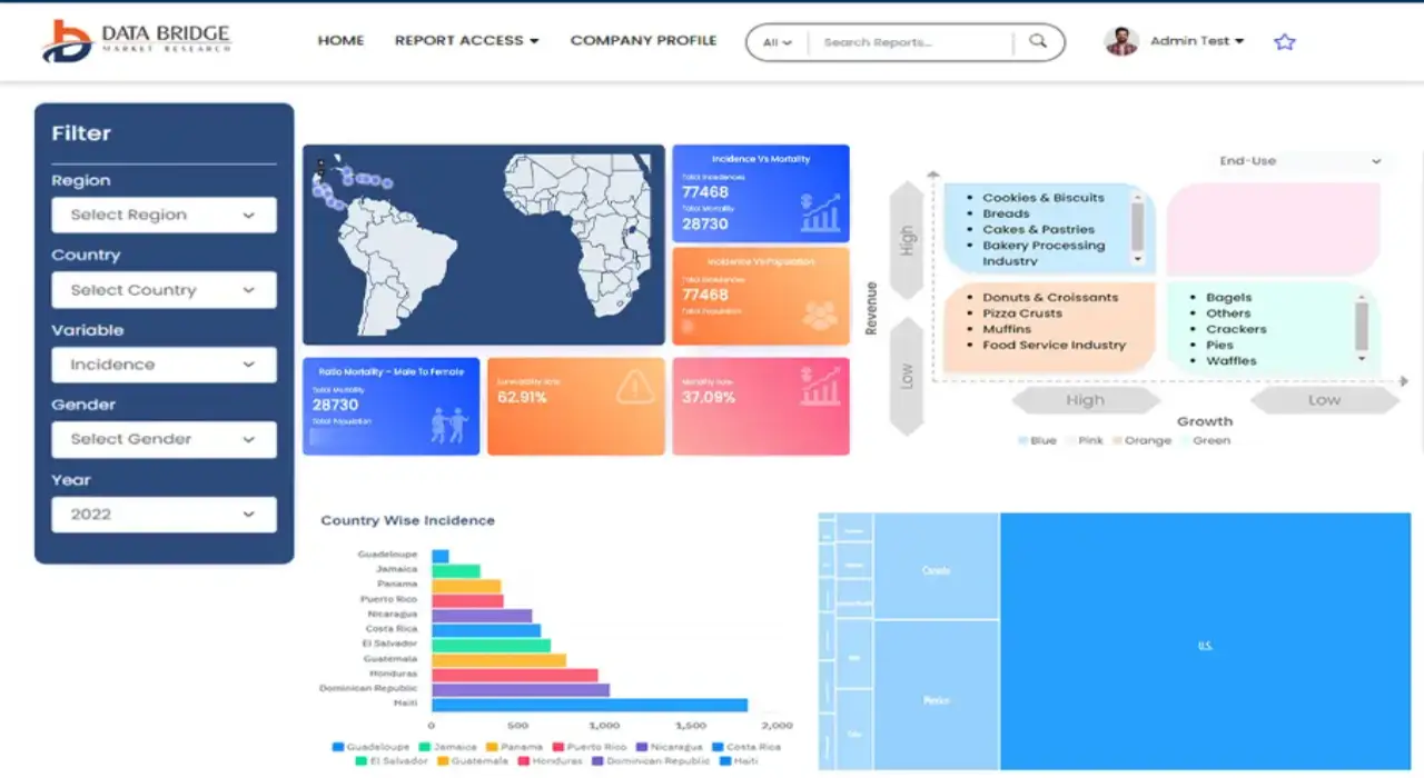
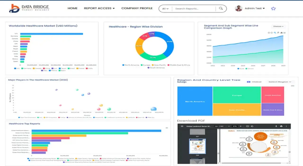
- Interactive Data Analysis Dashboard
- Company Analysis Dashboard for high growth potential opportunities
- Research Analyst Access for customization & queries
- Competitor Analysis with Interactive dashboard
- Latest News, Updates & Trend analysis
- Harness the Power of Benchmark Analysis for Comprehensive Competitor Tracking
Data collection and base year analysis are done using data collection modules with large sample sizes. The stage includes obtaining market information or related data through various sources and strategies. It includes examining and planning all the data acquired from the past in advance. It likewise envelops the examination of information inconsistencies seen across different information sources. The market data is analysed and estimated using market statistical and coherent models. Also, market share analysis and key trend analysis are the major success factors in the market report. To know more, please request an analyst call or drop down your inquiry.
The key research methodology used by DBMR research team is data triangulation which involves data mining, analysis of the impact of data variables on the market and primary (industry expert) validation. Data models include Vendor Positioning Grid, Market Time Line Analysis, Market Overview and Guide, Company Positioning Grid, Patent Analysis, Pricing Analysis, Company Market Share Analysis, Standards of Measurement, Global versus Regional and Vendor Share Analysis. To know more about the research methodology, drop in an inquiry to speak to our industry experts.
Data Bridge Market Research is a leader in advanced formative research. We take pride in servicing our existing and new customers with data and analysis that match and suits their goal. The report can be customized to include price trend analysis of target brands understanding the market for additional countries (ask for the list of countries), clinical trial results data, literature review, refurbished market and product base analysis. Market analysis of target competitors can be analyzed from technology-based analysis to market portfolio strategies. We can add as many competitors that you require data about in the format and data style you are looking for. Our team of analysts can also provide you data in crude raw excel files pivot tables (Fact book) or can assist you in creating presentations from the data sets available in the report.